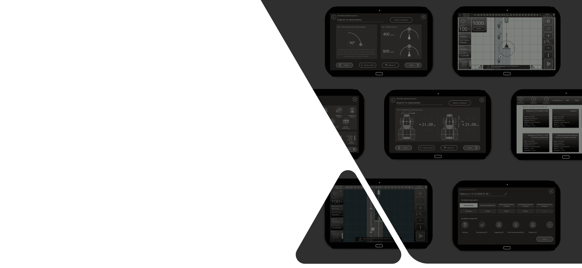
About project
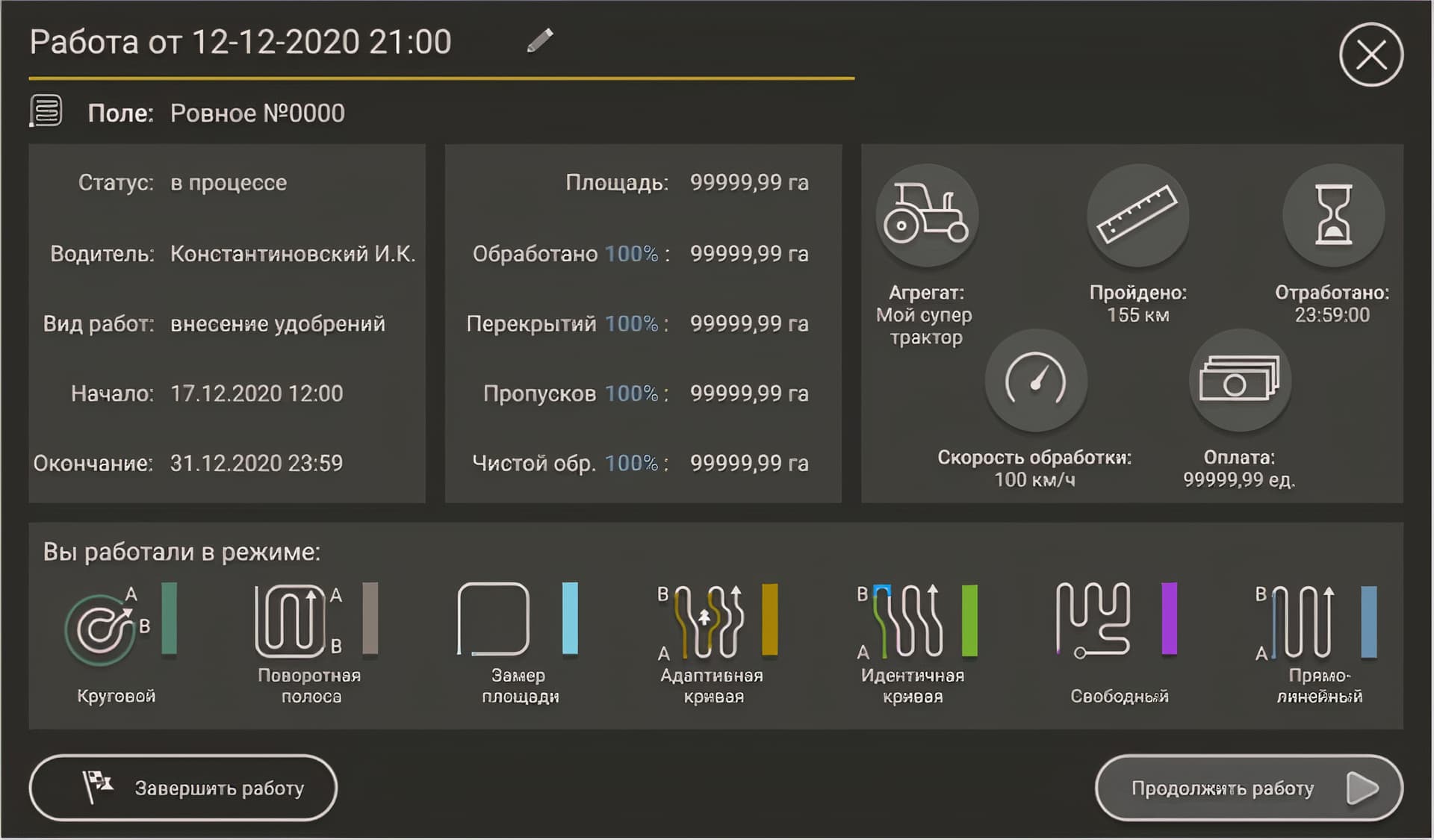
Thanks to an accurate calculation system, the application displays the unprocessed (missed) areas of the field and those where re-processing (overlap) occurred.
In addition, the application collects a large amount of statistical data. All this significantly increases the economic effect and efficiency of agricultural work.
Technological Solutions
How we solved complex project tasks
Coordinate stabilization
If there are problems with the antenna on the device, then the coordinates of the unit will be in error. A tractor standing in one place will randomly move from point to point. We smooth out such errors with linear regression.
Trailer path processing
The application calculates the trajectory of the trailer while the agronavigator is installed not on the trailer, but on the tractor.
Automatic update
It doesn't matter where the device is located: if we release a software update, it is automatically installed without any maintenance.
Calculating the processing area
It is made taking into account the intersections and in real time. The larger the field, the more computationally intensive it requires. We compute data in some neighborhood of the aggregate. As a result, regardless of the processing area, the speed of this operation is constant and does not affect the display.
Agroved features
Track route across the field
Day and night modes of operation
Calculation of the trajectory of the trailer
Special modes for fields of different configuration
OUR TEAM COMMENTS
Agroved


